We use cookies to make your experience better. To comply with the new e-Privacy directive, we need to ask for your consent to set the cookies. Learn more
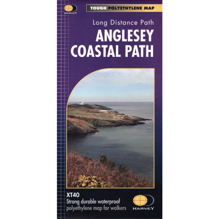
Anglesey Coastal Path XT40
1:40,000 waterproof map
£15.95
In Stock
Usually dispatched within 24 hrs. Free delivery to UK for orders £25 and over
The 200km (125 mile) long Anglesey Coastal Path is a long distance route that follows much of the island's coastline and comprises one section of the Wales Coast Path. The path primarily caters for walkers however, cyclists and horse riders can also enjoy certain sections. This is the 1:40,000 strip map from Harvey covering the entire route on one waterproof map.
| Cordee Code: | CMH268 |
|---|---|
| Page Size: | 115 x 242 mm |
| Publisher: | Harvey Maps |
| ISBN13: | 9781851375851 |
| Author: | Harvey Map |
| Published Date: | June 2016 |
| Edition: | 1st ed, June 2016 |
| Binding: | Waterproof Map (folded) |
| Weight: | 70g |
| Product Type: | Map |
The 200km (125 mile) long Anglesey Coastal Path is a long distance route that follows much of the island's coastline and comprises one section of the Wales Coast Path. The path primarily caters for walkers however, cyclists and horse riders can also enjoy certain sections.
The path falls within a designated Area of Outstanding Natural Beauty which covers 95% of the coast. It passes through landscape that includes a mixture of farmland, coastal heath, dunes, salt-marsh, foreshore, cliffs and a few small pockets of woodland.
* Entire route on one map
* Tough, light, durable and 100% waterproof
* Includes Rights of Way
* Genuine original HARVEY mapping
* Route clearly marked
* Scale: 1:40,000
* Ratio: 2.5cm = 1km
* Flat size: 1160 x 486mm
* Folded size: 116 x 243mm
* Weight: 60gms
* Single sided
* Format: strip map
-
-
-
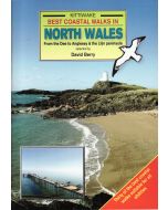 Best Coastal Walks in North WalesDee to Anglesey & Llyn Peninsular - Kittiwake£5.95
CWW294
In Stock -