We use cookies to make your experience better. To comply with the new e-Privacy directive, we need to ask for your consent to set the cookies. Learn more
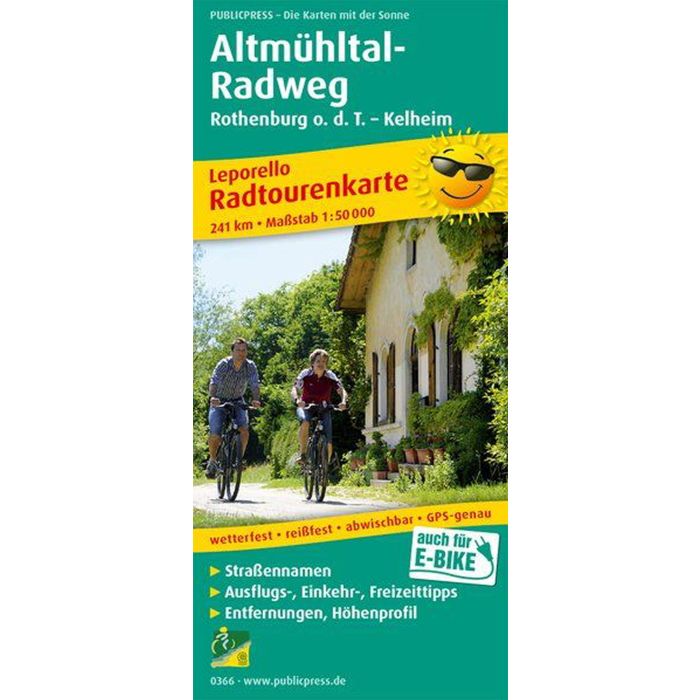
AltmuhltalCycle Path, Rothenburg o d T Kelheim
£15.90
In Stock
Usually dispatched within 24 hrs. Free delivery to UK for orders £25 and over
| Cordee Code: | FB0973 |
|---|---|
| Page Size: | 90 x 200 mm |
| Publisher: | Freytag & Berndt |
| ISBN13: | 9783899203660 |
| Published Date: | April 2019 |
| Binding: | Sheet Map (folded) |
| Weight: | 70g |
| Product Type: | Map |
| Countries: | Germany |
The bike tour map Altm?hltal-Radweg presents the Altm?hltalradweg in leporello style. The route starts in Rothenburg od Tauber and ends in Kehlheim. There the Altm?hl flows into the Danube. The bike tour map Altm?hltal-Radweg not only offers a good overview of the main route near the shore, but also shows three alternative routes that lead via Ansbach, Wei?enburg or through the Anlautertal, and thus allow you to experience the Franconian Lake District and the Altm?hltal Nature Park even more intensively. If you are still fit in Kehlheim, the card also offers a connecting route along the Danube to Regensburg. You can find out from the information on the Altm?hltal cycle tour map where stopovers are worthwhile on this scenic cycle route.