We use cookies to make your experience better. To comply with the new e-Privacy directive, we need to ask for your consent to set the cookies. Learn more
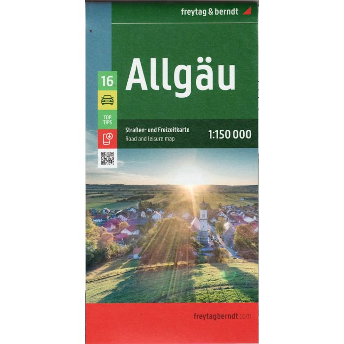
Allgau, road and leisure map 1:150,000
£12.90
In Stock
Usually dispatched within 24 hrs. Free delivery to UK for orders £25 and over
| Cordee Code: | FB1602 |
|---|---|
| Page Size: | 130 x 255 mm |
| Publisher: | Freytag & Berndt |
| ISBN13: | 9783707922486 |
| Scale: | 1:150 000 |
| Published Date: | April 2024 |
| Edition: | 2024 |
| Binding: | Sheet Map (folded) |
| Weight: | 135g |
| Product Type: | Map |
| Countries: | Germany |
With the Allgau road map on a scale of 1:150,000, holidaymakers traveling by car, motorbike or caravan can easily find their way around. The dense road network is depicted precisely, distances and tourist destinations in the Allgau are shown on the map.
Information about the Allg?u car map
Scale 1:150,000
Tourist information
Campsites and pitches
Top Tips
Location register with postal codes
Downtown map
Format: 124 x 86 cm
The best car map for the Allgau
Whether hiking, cycling, water sports or culture, the diverse leisure options make every visit to the Allgau an unforgettable experience. Drivers and motorcyclists particularly appreciate freytag & berndt's precise cartography for planning and on-site orientation.
Caravan drivers and campers will of course find all campsites and pitches on the map.
Top tips
The 10 most important sights in the Allgau are briefly described on the back. These include the breathtaking Neuschwanstein Castle with its fairytale-like architecture, the idyllic Allgau Alps with numerous hiking opportunities, the picturesque Lake Constance , as well as the historic cities of Kempten and Memmingen , which fascinate with their rich history.
This map is sheet 16 of the 17-part Germany 1:150,000 map series.