We use cookies to make your experience better. To comply with the new e-Privacy directive, we need to ask for your consent to set the cookies. Learn more
A28 Guadeloupe
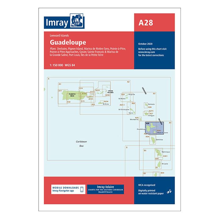
Deshaies, Pigeon Island, Marina de Rverie Sens,.....
£23.95
In Stock
Usually dispatched within 24 hrs. Free delivery to UK for orders £25 and over
| Cordee Code: | IM0084 |
|---|---|
| Page Size: | 210 x 297 mm |
| No of Pages: | 2 |
| Publisher: | Fb Imray Laurie Norie And Wilson |
| ISBN13: | 9781846238666 |
| Scale: | 1:150 000 |
| Edition: | July 2024 |
| Binding: | Sheet Map (folded) |
| Weight: | 220g |
| Product Type: | Map |
Imray-Iolaire charts for Caribbean are widely acknowledged as the best available for the cruising sailor. They combine the latest official survey Digital with first-hand information gathered over 60 years of research by Don Street Jr and his wide network of contributors. Like all Imray charts, they are printed on water resistant Pretex paper for durability, and they include many anchorages, facilities and inlets not included on official charts. Leeward Islands Plans included: Deshaies (1:25 000) Pigeon Island (1:25 000) Marina de Rivi?re Sens (1:10 000) Pointe-?-Pitre Approaches (1:50 000) Pointe-?-Pitre (1:25 000) Gosier (1:30 000) Sainte Fran?ois & Marina de la Grande Saline (1:10 000) Port Louis (1:20 000) ?les de la Petite Terre (1:50 000) On this edition the latest information on Marine Reserves is shown. The revised buoyed approach to Pointe ? Pitre is shown and a revised plan showing the new channel along with recommended tracks is included. The plan of Deshaies has been extended to show a greater approach from the south. A new plan of Pigeon Island is included, showing anchorages and the marine reserve. The chart specification has been improved to show coloured light flashes. There has been general updating throughout.