We use cookies to make your experience better. To comply with the new e-Privacy directive, we need to ask for your consent to set the cookies. Learn more
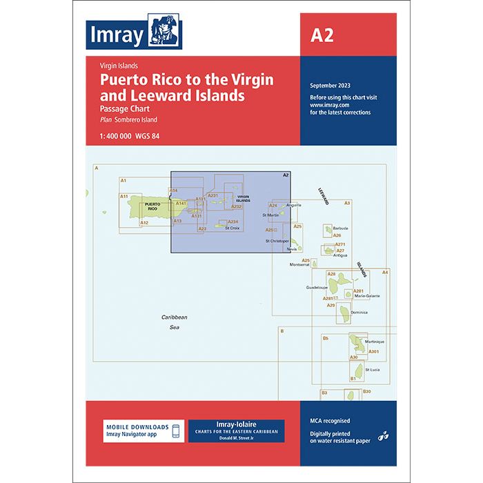
A2 Puerto Rico to the Virgin and Leeward Islands
Passage Chart
£23.95
In Stock
Usually dispatched within 24 hrs. Free delivery to UK for orders £25 and over
| Cordee Code: | IM0262 |
|---|---|
| Page Size: | 210 x 297 mm |
| No of Pages: | 2 |
| Publisher: | Fb Imray Laurie Norie And Wilson |
| ISBN13: | 9781786795137 |
| Binding: | Sheet Map (folded) |
| Weight: | 140g |
| Product Type: | Map |
| Countries: | Puerto Rico |
Plans included:
Charlotte Amalie (St Thomas) (1:30 000)
Cruz Bay (St John) (1:20 000)
Road Harbour, Sea Cow Bay & Nanny Cay Marina (Tortola) (1:20 000)
Benner Bay (St Thomas) (1:30 000)
Great Camanoe to Scrub Island (1:20 000)
Imray-Iolaire charts for the Caribbean are widely acknowledged as the best available for the cruising sailor. They combine the latest official survey Digital with first-hand information gathered over 60 years of research by Don Street Jr and his wide network of contributors.
Like all Imray charts, they are printed on water resistant Pretex paper for durability, and they include many anchorages, facilities and inlets not included on official charts.
This edition includes the latest official Digital combined with additional information sourced from Imray's network to make it ideal for small craft. It includes the latest official bathymetric surveys. There has been general updating throughout.