We use cookies to make your experience better. To comply with the new e-Privacy directive, we need to ask for your consent to set the cookies. Learn more
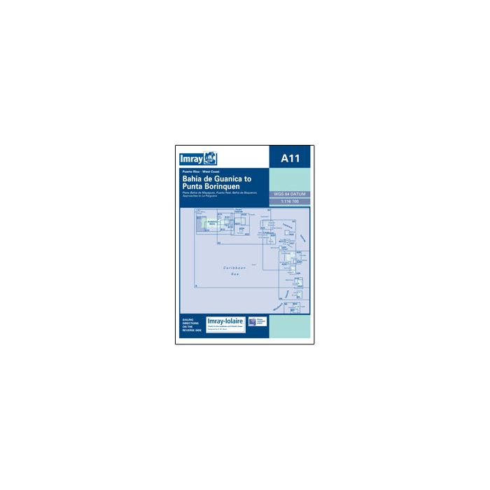
A11 Bahia de Guanica to Punta Borinquen
£23.95
Temp Out Of Stock
| Cordee Code: | IM0005 |
|---|---|
| Page Size: | 210 x 297 mm |
| No of Pages: | 2 |
| Publisher: | Fb Imray Laurie Norie And Wilson |
| ISBN13: | 9780852883037 |
| Binding: | Sheet Map (folded) |
| Weight: | 140g |
| Product Type: | Map |
| Countries: | Puerto Rico |
Imray-Iolaire charts for Caribbean are widely acknowledged as the best available for the cruising sailor. They combine the latest official survey Digital with first-hand information gathered over 60 years of research by Don Street Jr and his wide network of contributors. Like all Imray charts, they are printed on water resistant Pretex paper for durability, and they include many anchorages, facilities and inlets not included on official charts. West Coast of Puerto Rico Plans include: Bahia de Mayaguez Puerto Real Bahia de Boqueron Approaches to La Parguera