We use cookies to make your experience better. To comply with the new e-Privacy directive, we need to ask for your consent to set the cookies. Learn more
A Walking Guide to Haworth Map
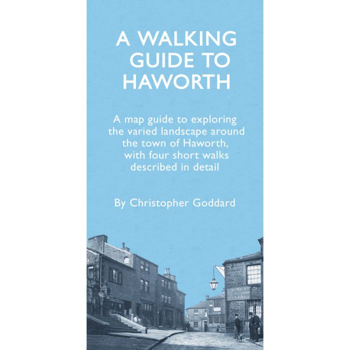
A map-guide to Haworth
£5.99
In Stock
Usually dispatched within 24 hrs. Free delivery to UK for orders £25 and over
| Cordee Code: | CWP827 |
|---|---|
| Page Size: | 110 x 215 mm |
| No of Pages: | 1 |
| Publisher: | Gritstone Publishing Co-operative |
| ISBN13: | 9780995450257 |
| Author: | Christopher Goddard |
| Binding: | Sheet Map (folded) |
| Illustrations: | Fold out A2 map b&w |
| Weight: | 52g |
| Product Type: | Map and Guide |
This is a guide to exploring the landscape around Haworth, which straddles a series of fine hillsides around the Worth, Sladen and Bridgehouse valleys.There is far more to the area's history than its famous Bronte connections and this guide provides a wealth of information about the mills, bridges, rivers, dams and rich wildlife to be discovered.
The four short routes described here all start in Haworth and are between 2-5 miles long. They shine a light on different aspects of the landscape - as well as the popular walk to the Bront? Falls, the walks take in the moors of Brow Moor and Penistone Hill, and the many delights of the Worth, Sladen and Bridgehouse valleys.
The four short routes described here all start in Haworth and are between 2-5 miles long. They shine a light on different aspects of the landscape - as well as the popular walk to the Bront? Falls, the walks take in the moors of Brow Moor and Penistone Hill, and the many delights of the Worth, Sladen and Bridgehouse valleys.