We use cookies to make your experience better. To comply with the new e-Privacy directive, we need to ask for your consent to set the cookies. Learn more
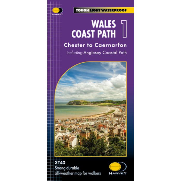
Wales Coast Path 1: Chester to Caernarfon 1:40 000
Including Anglesey Coastal Path XT40
£17.50
In Stock
Usually dispatched within 24 hrs. Free delivery to UK for orders £25 and over
| Cordee Code: | CMH356 |
|---|---|
| Page Size: | 116 x 243 mm |
| No of Pages: | 1 |
| Publisher: | Harvey Maps |
| ISBN13: | 9781851376605 |
| Scale: | 1:40 000 |
| Published Date: | May 2023 |
| Edition: | 1st, May 2023 |
| Binding: | Sheet Map (folded) |
| Weight: | 70g |
| Product Type: | Map |
The Wales Coast Path is a 1400km (870 miles) long distance trail that follows, or runs close to, the entire coastline of Wales. It is an incredibly varied trail that offers rugged and unspoilt walking, colourful seaside villages, industrial archaeology, clifftops, beaches and unique heritage sites.
4 HARVEY maps cover the whole of the route. Each map covers a section of the Path suitable for about 2 weeks of walking.
Map 1 covers the Path from the start in Chester to Caernarfon, and includes the whole of the Anglesey Coastal Path.
From Chester, just across the border in England, you will walk a short distance to the border and the official start of the Wales Coast Path. Heading west across North Wales, you will pass through bustling seaside towns and sandy beaches, before reaching the Menai Strait and the island of Anglesey.
Tough, light, durable and 100% waterproof
Includes Rights of Way
Genuine original HARVEY mapping
Route clearly marked
-
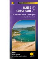 Wales Coast Path 2 HARVEY 1:40 000Caernarfon to Cardigan inc Llyn Peninsula£17.50
CMH349
Temp Out Of Stock -
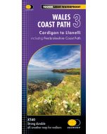 Wales Coast Path 3 HARVEY 1:40 000Cardigan to Llanelli incl Pembrokeshire Coast Path£17.50
CMH350
In Stock -
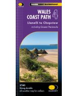 Wales Coast Path 4: Llanelli to Chepstow 1:40 000Including Gower Peninsula XT40£17.50
CMH357
In Stock