We use cookies to make your experience better. To comply with the new e-Privacy directive, we need to ask for your consent to set the cookies. Learn more
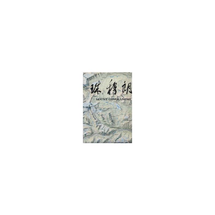
Mount Qomolangma SagarmathaEverest
1:100,000
£24.00
Temp Out Of Stock
| Cordee Code: | CMW270 |
|---|---|
| Publisher: | Chinese Institute Glaciology |
| Author: | Chinese Institute |
| Language: | English |
| Published Date: | February 2006 |
| Weight: | 60g |
| Product Type: | Map |
| Countries: | China |
High quality full-colour area map of the Everest region. Coverage extends from Pangboche north to Rongpusi in Tibet, west to Cho Oyu and east to Yupar. International borders are not shown. Contours marked at 40m intervals with relief-shading and spot heights.
The reverse has useful information on geology, climate, and climbing routes with a B/W satellite image of the area.
The reverse has useful information on geology, climate, and climbing routes with a B/W satellite image of the area.