Categories
- Accommodation Guides

- Calendars & Diaries
- Canoeing & Kayaking
- Caving
- Climbing
- Cycling
- Fitness Training Nutrition
- Geology
- Inland Waterways
- Journals
- Kitesurfing
- Maps
 Maps
Maps
- Africa [74]
- Asia
- Australasia
- Central America [7]
- Europe
Europe
- Albania [13]
- Austria [94]
- Azores [3]
- Balearic Islands [19]
- Canary Islands [13]
- Corsica [4]
- Crete [4]
- Croatia [6]
- Dav [48]
- Denmark [16]
- Estonia [2]
- France [20]
- France Pyrenees [23]
- France, Alps [35]
- France, Ign 1:100,000 [73]
- France, Ign 1:25,000 [274]
- France, Ign Road [21]
- General [40]
- Germany [46]
- Greece [69]
- Greece Islands [30]
- Greece, 1:25,000 [16]
- Greece, 1:50,000 [19]
- Iceland [24]
- Ireland [23]
- Italy [184]
- Kosovo [2]
- Latvia [2]
- Macedonia [1]
- Madeira [7]
- Malta [2]
- Montenegro [4]
- Norway [17]
- Norway 1:50,000 [34]
- Norway Hiking [2]
- Poland [7]
- Romania [13]
- Scandinavia [16]
- Serbia & Montenegro [14]
- Slovenia [7]
- Spain [76]
- Spain Pyrenees [50]
- Swisstopo 1:100,000 [2]
- Swisstopo 1:250,000 [4]
- Swisstopo 1:50,000 Ski [16]
- Swisstopo1:25,000 [102]
- Swisstopo1:50,000 [116]
- Switzerland [28]
- Turkey [7]
- Ireland [5]
- Middle East
- North America
- Polar
- South America
- Uk
- UK: AA Leisure 1:50 000 [5]
- UK: AA Walker's 1:25 000 [13]
- Uk: Activity
- Uk: Ordnance Survey
- Uk: Raised Relief
- World [13]
- Nautical
- Outdoor Skills
- Running
- Snow Sports
- Surfing
- Swimming
- Trail Running / Fellrunning
- Travel
- Triathlon
- Walking & Hiking
- Wildlife
- Windsports
|
Walking & Hiking » Guides » Uk, Long Distance Paths
Maps » Uk: Activity» Walking, England
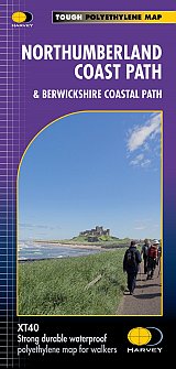
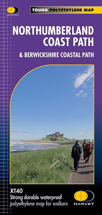
Northumberland Coast Path Trail Map XT40
& Berwickshire Coastal Path
£15.95
|
|
This revised Trail Map covers 94 miles in total. Starting on the Berwickshire Coastal Path from Cocksburnspath to Bernick-upton-Tweed, then continuing along the Northumberland Coast Path to Cresswell.
Showing the updated Route which aligns with the new King Charles ||| England Coast Path.
The XT40 is based on original HARVEY mapping with all the detail a walker would expect on a map at 1:40 000 scale.
Uncluttered by information irrelevant to the walker and less than half the weight of a laminated map.
Printed on tough, light and 100% waterproof paper.
The entire route on one sheet
Shows facilities and services along the route.
Clear and easy to read mapping.
In Stock
Usually dispatched within 24 hrs. Free delivery to UK for orders £25 and over.
£15.95
Cordee Code: CMH363
Author: Harvey Maps
No of Pages: 1
Page Size: 116 x 243 mm
ISBN 10: 1851376682
ISBN 13: 9781851376681
Publisher: Harvey Maps
Published Date: March 2012
Edition: 2023
Binding: Waterproof map (folded)
Weight: 75g
|
Other titles of interest:
In Stock
|
In Stock
|
In Stock
|
|
Click to Close [X]
 |